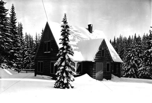
Umatilla National Forest

The
Umatilla National Forest, in the
Blue Mountains of northeast
Oregon and southeast
Washington, covers an area of 1.4 million acres (5,700 km
2). In descending order of land area the forest is located in parts of
Umatilla,
Grant,
Columbia,
Morrow,
Wallowa,
Union,
Garfield,
Asotin,
Wheeler, and
Walla Walla counties. (Columbia, Garfield, Asotin, and Walla Walla counties are in Washington, while the rest are in Oregon.) More than three-quarters of the forest lies in the state of Oregon. Forest headquarters are located in
Pendleton, Oregon. There are local
ranger district offices in
Heppner and
Ukiah in Oregon, and in
Pomeroy and
Walla Walla in Washington.
Provided by Wikipedia
-
1
 The Umatilla National Forest, in the Blue Mountains of northeast Oregon and southeast Washington, covers an area of 1.4 million acres (5,700 km2). In descending order of land area the forest is located in parts of Umatilla, Grant, Columbia, Morrow, Wallowa, Union, Garfield, Asotin, Wheeler, and Walla Walla counties. (Columbia, Garfield, Asotin, and Walla Walla counties are in Washington, while the rest are in Oregon.) More than three-quarters of the forest lies in the state of Oregon. Forest headquarters are located in Pendleton, Oregon. There are local ranger district offices in Heppner and Ukiah in Oregon, and in Pomeroy and Walla Walla in Washington.
Provided by Wikipedia