Manchester city centre
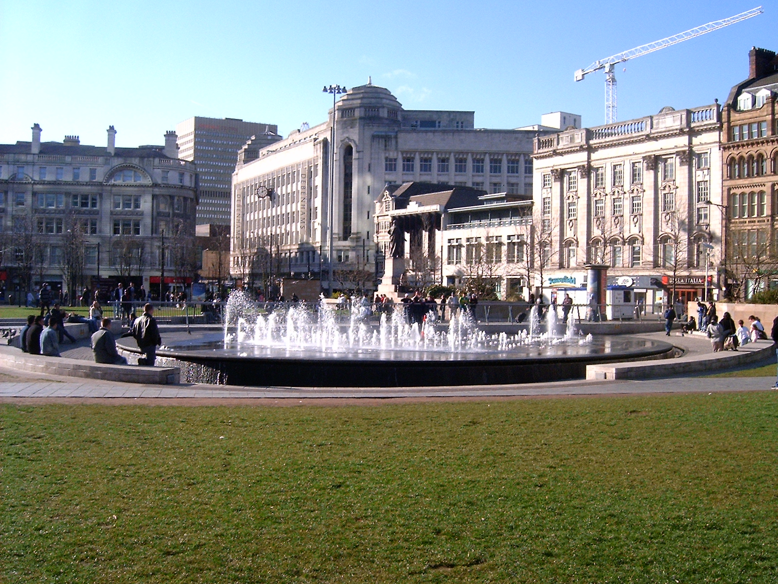 Manchester City Centre is the central business district of Manchester, England, within the confines of Great Ancoats Street, A6042 Trinity Way, and A57(M) Mancunian Way, which collectively form an inner ring road. The City Centre ward had a population of 17,861 at the 2011 census.
Manchester city centre evolved from the civilian ''vicus'' of the Roman fort of Mamucium, on a sandstone bluff near the confluence of the rivers Medlock and Irwell. This became the township of Manchester during the Middle Ages, and was the site of the Peterloo Massacre of 1819. Manchester was granted city status in 1853, after the Industrial Revolution, from which the city centre emerged as the global centre of the cotton trade which encouraged its "splendidly imposing commercial architecture" during the Victorian era, such as the Royal Exchange, the Corn Exchange, the Free Trade Hall, and the Great Northern Warehouse. After the decline of the cotton trade and the Manchester Blitz, the city centre suffered economic decline during the mid-20th century, but the CIS Tower ranked as the tallest building in the UK when completed in 1962.
The city centre acts as the transport interchange for Greater Manchester and over 7 million people live within an hour's drive of it. The 1996 Manchester bombing provided the impetus for the redevelopment of the city centre and an upturn in retail, leisure, offices and urban living. The economy of the city centre is built primarily on retail and services, accounting for nearly 40% of Grade-A city centre office space outside London. Provided by Wikipedia
-
1
-
2
-
3
-
4
-
5
-
6
-
7
-
8
-
9
-
10
-
11
-
12
-
13
-
14
-
15
-
16by Barnes, David K.A., Rothery, PeterGet access
Published in Journal of Experimental Marine Biology and Ecology (1996)
Get access
Article in Journal/Newspaper -
17
-
18
-
19by Barnes, David K.A., Rothery, PeterGet access
Published in Journal of Experimental Marine Biology and Ecology (1996)
Get access
Get access
Article in Journal/Newspaper -
20by Harrisson, Paul M., Rothery, Peter, Block, WilliamGet access
Published in Journal of Insect Physiology (1991)
Get access
Article in Journal/Newspaper